geo:spektiv2GO – making remote sensing mobile for students – Development of an mobile App for location based learning with remote sensing data using the example of agriculture and biodiversity in context of the Sustainable Development Goals (SDGs)
Mario Blersch, M. Sc., Johannes Keller, Prof. Dr. Alexander Siegmund, Dipl.-Geogr. Christian Plass
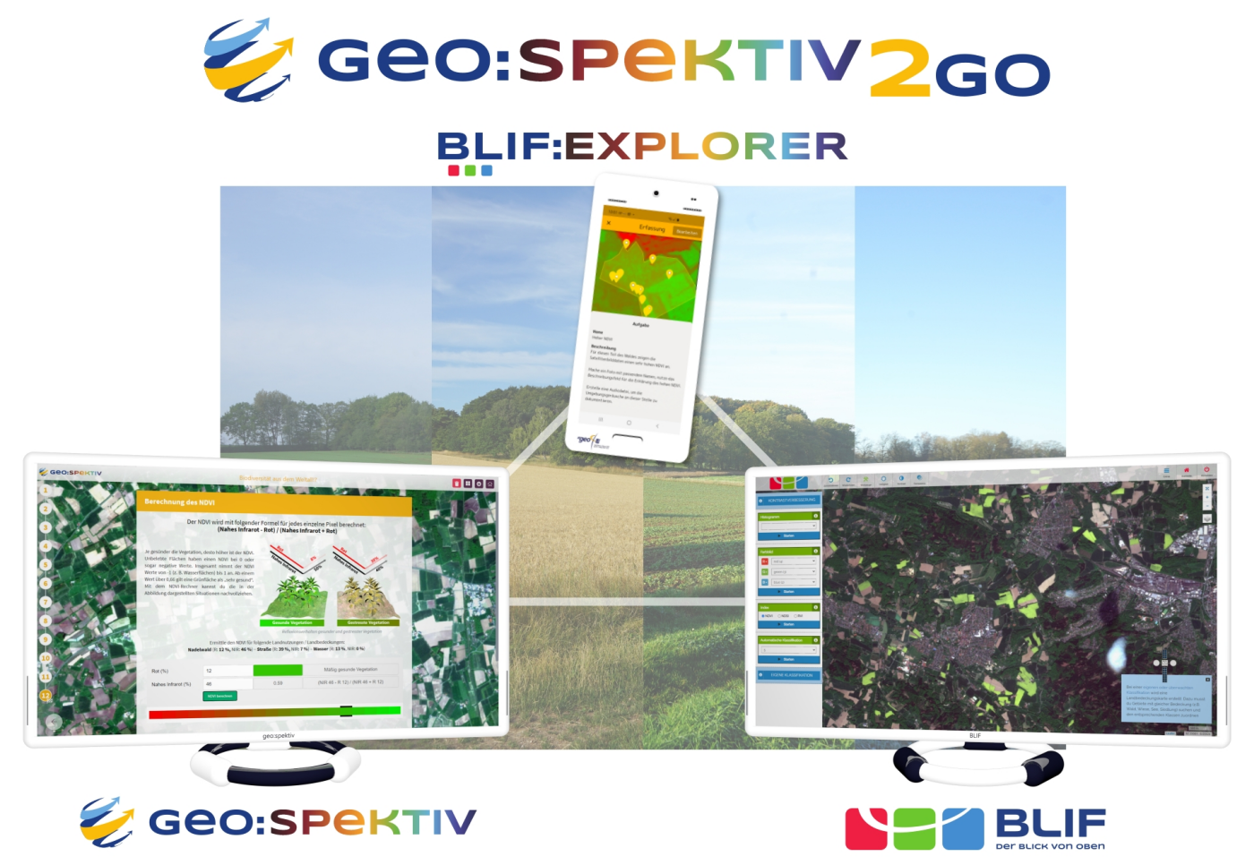
Within the project, a mobile App app for integrating satellite imagery at field trips in schools will be developed. The app BLIF:Explorer allows students to view original satellite imagery in the field, collect location-based data, and retrieve information offline. Students can later view the collected data and information in BLIF to conduct in-depth analysis of satellite imagery in the context of the Sustainable Development Goals (SDGs).
Remote sensing offers various opportunities to assess land use and land cover change, environmental issues and consequences of climate change. The Department of Geography – Research Group for Earth Observation (rgeo) at the Heidelberg University of Education plans to enable students to carry out remote sensing-based activities in the field with an especially developed App, interlinked with the e-learning Platform geo:spektiv and the webbased remote sensing tool BLIF.
One function of the App will make ground truthing possible for students and in this way facilitate the analysis of satellite images with “BLIF”, a special, remote sensing application, which enables students to create i.e. false colour composites and carry out land use/cover classifications and change detection. Through this new “mobile-learning system” (m-learning) we want to support teachers to teach remote sensing theory and applications in schools. The App also will be able to be used for ground basedground-based monitoring and the planning of field trips. Both applications will be integrated in geo:spektiv, an adaptive e-learning platform dealing with environmental issues. The platform will be expanded within the Project geo:spektiv2GO by modules, which will focus on the topics agriculture, biodiversity and forestry. The app BLIF:Explorer will be available for Android and iOS in July 2022.

Geo:spektiv, BLIF and BLIF:Explorer

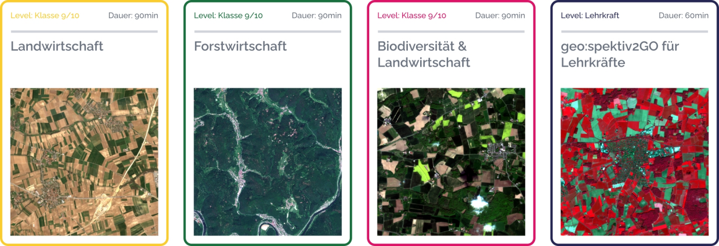
Thematic extension of the e-learning platform by geo:spektiv2GO learning modules
Project period: 01.09.2019 – 31.08.2022
This project is supported by the German Space Adminstration (DLR) through grants from the Federal Ministry for Economic Affairs and Energy.
geo:spektiv2GO on the news:


